
How I Make My Maps
The Three Year Temporary Insanity During Which I Made Some Pretty Pleasing Cartography

This process is fairly straightforward, but I’ve tried to be as thorough in my explanation as possible. For that reason this is a very long, very image-heavy article.
Introduction
I have, on occasion, been alerted to the fact that I can be a little insane. I’ve been an analytical perfectionist since I was a child; it’s a trait I have a hard time regulating. When I initially began the mapmaking process, I didn’t know where to start and so I ended up starting at the very beginning.
The very beginning.
I began by determining the size of my star (the sun), the mass and volume of my planet, its distance from the star, the age of the star, details regarding atmosphere, greenhouse effect, overall temperature, etc. etc. A few months into this I looked up and said “What the hell am I doing?” But by then it was too late. I’d already calculated the length of the day, the gravity, the length of the year, and so on. None of that has been even remotely useful. But I guess I know it, so whatever. I now only have (somewhere) a printout of all this data. I ended up forcing myself to delete it from my computer so I could take back control of my life.
Given this innate insanity, when I started drawing the map, I, naturally, started with the tectonic plates. I also planned the tides, the currents, the plate movement, the weather, etc. etc.
You do not have to do this.
Based on my personal experience, if you want to make wonderful, usable maps, these are the steps I’d recommend, and I’ll take you through each one:
Plan your landmasses on a globe using Gplates.
Use this plan to create an projection map.
Create projections according to your needs using G.Projector.
Use these projections to draw your map (preferably using a vector program).
I. Landmasses
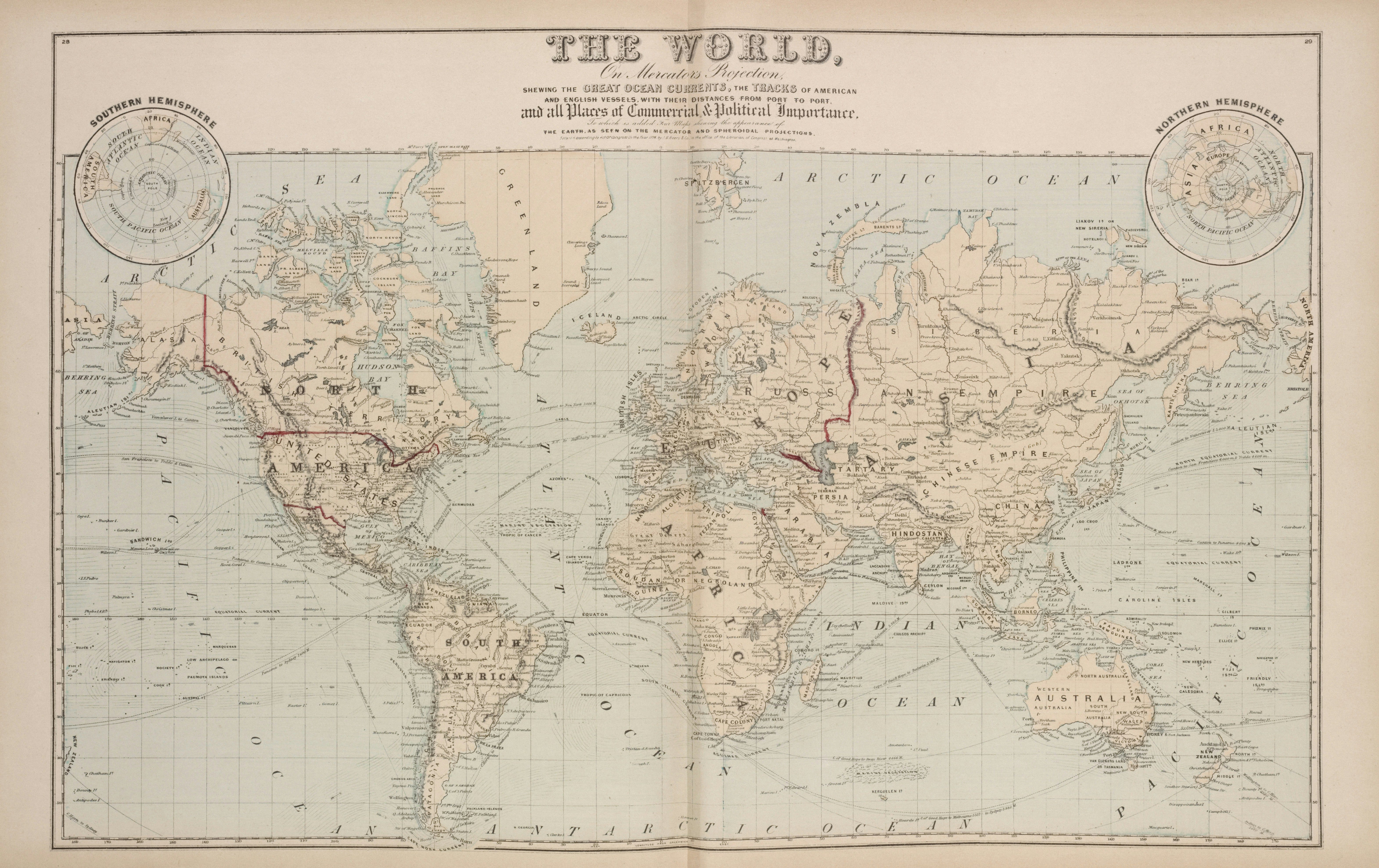
Of all the decisions I made when I set out to make my map(s), planning the landmasses on a globe is by far the best. We often forget how different landmasses actually are in reality from what we see on flat map projections, like this one:
On a globe (and thus in reality) everything is quite different. To get a truly accurate, true-to-life feel for how your continents and landmasses are shaped, proportioned, and positioned, I highly recommend planning them on a globe.
Of course, I started with plate tectonics. But you don’t have to do that.